AI, Applied
With Purpose.
Foundation models + satellite imagery turned into simple, local advice—offline, in your language.
The Challenge
Millions of smallholder farmers face low yields due to unpredictable weather, soil degradation, and crop disease. Without timely insights, entire harvests — and communities — are at risk.
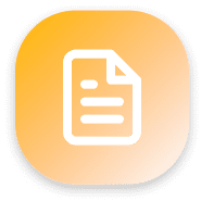
Climate Stress
Unpredictable weather patterns threaten crop survival

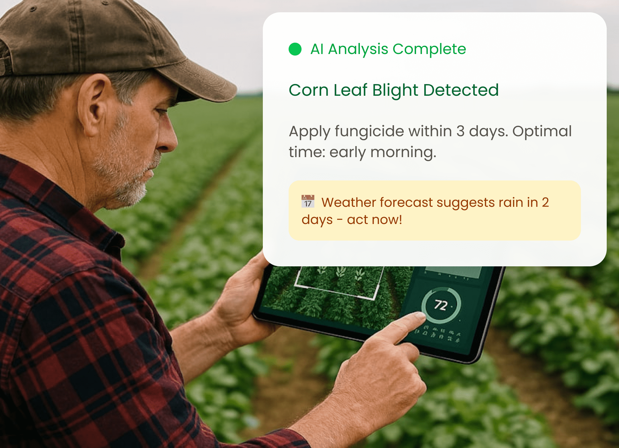
Pest & Disease
Without early detection, infestations ruin crops
Limited Data
Farmers lack access to agricultural insights
Our Solution
By merging foundation models with Gen AI, we can provide actionable recommendations to farmers around the world.
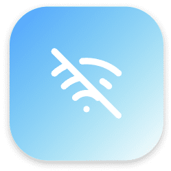
Built for Outdoors
SMS and web app ensures access even without internet
No WiFi Required
Small Farm Focus
Optimized for farms under 5 hectares
< 5 Hectares

Satellite Integration
Combines satellite imagery with
on-ground reality
Real-time Data
AI Reasoning
Foundation models adapted for
African agriculture
Localized AI
How It Works
Four simple steps from photo to prosperity

Auto
Locate Farm
Collect the farm’s information with minimum user action
AI + satellite
analysis
Combine ground truth with satellite data and weather patterns

Localized
recommendations
Receive practical, actionable advice via SMS or web app
Yields &
incomes grow
Families thrive with better harvests and sustainable practices
What Makes Us Different
Purpose-built for smallholder farmers in Africa and elsewhere
Easy
Simple to use. Built for the world’s smallest farms
Fast
Offline-first, SMS delivery

Ethical
Built with responsible AI
Popular
Community-driven ground truth validation

Human-centered design
Technology that serves farmers, not the other way around
Powered by Advanced Technology
The real story isn’t the AI. It’s the farmer, their family, and their future. With Plumfind, AI becomes a tool for resilience and prosperity.

5 days
Imaging Frequency
Crop maps can be refreshed every 5 days
10+
Crops Classified
Including corn, soybeans, cotton, wheat, alfalfa and more

30 m
Surface Reflectance Data
30 metre high resolution data captured using satellites

46 km2
Satellite Image Range
Area of land covered in each image tile

Built with Trust
Every recommendation prioritizes farmer safety and success
Classification